
📊 Full opportunity report: The City That Watches Itself: The Living Digital Twin, And The God’s-Eye View We’re Building on ThorstenMeyerAI.com — validation score, market gap, and execution plan.
TL;DR
Cities are creating dynamic digital twins powered by sensors and AI, enabling real-time monitoring and simulation. While improving planning, this also introduces unprecedented surveillance risks.
Multiple cities worldwide are developing and deploying real-time digital twins, virtual replicas of urban environments that integrate live sensor data, satellite imagery, and advanced AI. These models enable city officials to monitor, simulate, and manage urban systems with unprecedented precision, transforming city governance and planning. This development matters because it combines technological innovation with significant privacy and sovereignty concerns, making it a pivotal moment in urban management and surveillance.
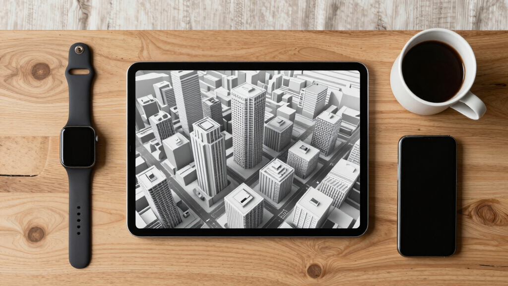
The core of this innovation is the creation of dynamic, three-dimensional virtual models that reflect real-time conditions of cities. Cities like Singapore, Helsinki, and Las Vegas already operate operational digital twins that incorporate data from IoT sensors, GIS systems, and satellite imagery. These models allow urban planners to run predictive simulations, optimize resource use, and improve infrastructure planning. For example, Singapore’s Virtual Singapore models every building, road, and utility, extending underground infrastructure mapping.
The recent technological breakthrough is the integration of Wide-Area Motion Imagery (WAMI) sensors, which continuously track and archive every vehicle and pedestrian movement across entire urban areas. When fused with all-weather radar, satellite imagery, and AI, these sensors turn the digital twin into a live, rewindable record of city activity. AI models capable of understanding complex, heterogeneous data now enable natural language queries, transforming the twin from a static map into an interactive tool. This advancement is driven by frontier AI models like GPT-5.6, which can interpret scenes, recognize behavior patterns, and respond to detailed questions about the city’s operations.
However, this technological development raises questions about sovereignty and privacy. Some governments could rely on foreign AI providers, risking control over sensitive infrastructure. The capacity for comprehensive surveillance and behavioral analysis also presents potential misuse, making the technology as much a tool for oversight as for planning.
The city that watches itself: the living digital twin, and the god’s-eye view we’re building
Soon most cities will exist twice — once in concrete, once as a live data model you can rewind, simulate, and question in plain language. Persistent sensing + frontier AI turn the planner’s digital twin into an oracle. The most useful thing we’ve built — and the most powerful surveillance instrument. Both at once.
- Plan better — cities & rural: traffic, zoning, energy, land use
- Emergency response — route crews, one live picture, ~50% faster
- Disaster resilience — simulate, track live, assess damage in hours
- Mass surveillance — track everyone, retroactively, forever
- Pattern-of-life — AI links movements, infers associations
- Social control — no warrant, no suspicion (cf. Baltimore, 2021 ruling)
We’re building a city that watches itself, remembers everything, and can be asked anything. The technology won’t choose between saving lives and ending privacy — we will, through the rules we write now, while the twin is still under construction and the defaults haven’t yet hardened into permanence. WAMI and the living twin open our lives to a view from the heavens that, from the dawn of civilization until a heartbeat ago, was reserved for gods and stars. The question is no longer whether we can see everything — it’s who gets to look, and who watches the watchers.
Implications for Urban Governance and Privacy
The development of real-time digital twins indicates a shift toward data-driven urban management, supporting more informed decision-making and planning processes. These models can assist in optimizing resource allocation, infrastructure maintenance, and emergency preparedness. Nonetheless, the collection and use of detailed urban data raise concerns about privacy, data security, and the potential for misuse. The reliance on external AI providers also highlights the importance of governance frameworks to maintain control over critical infrastructure and sensitive information.
As an affiliate, we earn on qualifying purchases.
Technological Foundations and Early Deployments
The concept of digital twins in urban planning has been explored for several years; cities like Singapore launched Virtual Singapore after significant flooding in 2012, aiming to model infrastructure and environmental factors. Recent technological advances have been driven by the convergence of persistent wide-area sensing (like WAMI), all-weather radar, and advanced AI capable of understanding complex data. These developments enable continuous, detailed monitoring and simulation, transforming static models into dynamic, interactive systems. Several cities now operate operational digital twins, demonstrating benefits such as shorter planning cycles and cost savings. Ongoing research aims to extend these models further, including underground infrastructure and rural areas, and to improve AI capabilities for real-time analysis and natural language interaction.
While sensor technology and data storage have been available for years, recent progress in AI’s ability to interpret and respond to large data streams has been a key factor in making these models more effective and interactive. This progress aligns with increasing pressures from climate change, urban population growth, and infrastructure demands.
„The convergence of sensors, satellite data, and AI is creating a new kind of urban awareness—cities that monitor, record, and respond based on real-time data.“
— Thorsten Meyer, AI researcher
As an affiliate, we earn on qualifying purchases.
Unresolved Privacy and Sovereignty Challenges
It remains to be seen how widespread adoption will address privacy concerns and control over data. Many cities depend on foreign AI providers, which raises questions about sovereignty and data security. The potential for misuse or hacking of these systems is an area of ongoing investigation, and regulatory frameworks are still being developed. The societal implications of pervasive surveillance also require further study, and public acceptance varies across different contexts.
As an affiliate, we earn on qualifying purchases.
Future Developments and Regulatory Measures
As digital twin technology continues to evolve, it is anticipated that deployment will expand across urban and rural areas, with ongoing improvements in AI for predictive analytics and natural language processing. Governments and regulatory agencies are expected to develop standards and policies to address privacy and sovereignty concerns. Future efforts will likely focus on establishing legal frameworks for data management, security measures, and international cooperation to prevent misuse. Public discussions around ethical considerations, data ownership, and transparency are also expected to increase.
AI-powered city monitoring devices
As an affiliate, we earn on qualifying purchases.
As an affiliate, we earn on qualifying purchases.
Key Questions
What is a digital twin of a city?
A digital twin is a virtual representation of a city that integrates data from sensors, satellite imagery, and AI to monitor, simulate, and manage urban systems in real time.
How does AI enhance the capabilities of city digital twins?
AI enables the twin to interpret complex data, recognize patterns, answer natural language questions, and run predictive simulations, making it a more interactive and useful tool for urban management.
What are the privacy risks associated with digital twins?
The technology involves extensive data collection and monitoring, which could raise concerns related to privacy, data security, and potential misuse for surveillance purposes.
Are all cities using these advanced digital twins?
No, only a few cities such as Singapore, Helsinki, and Las Vegas have operational models. Many other cities are in pilot phases or conducting research to develop similar systems.
What happens if foreign companies control a city’s digital twin?
This situation raises questions about sovereignty, as control over critical infrastructure and sensitive data could be compromised, emphasizing the importance of local or government-managed solutions.
Source: ThorstenMeyerAI.com